Skip to content
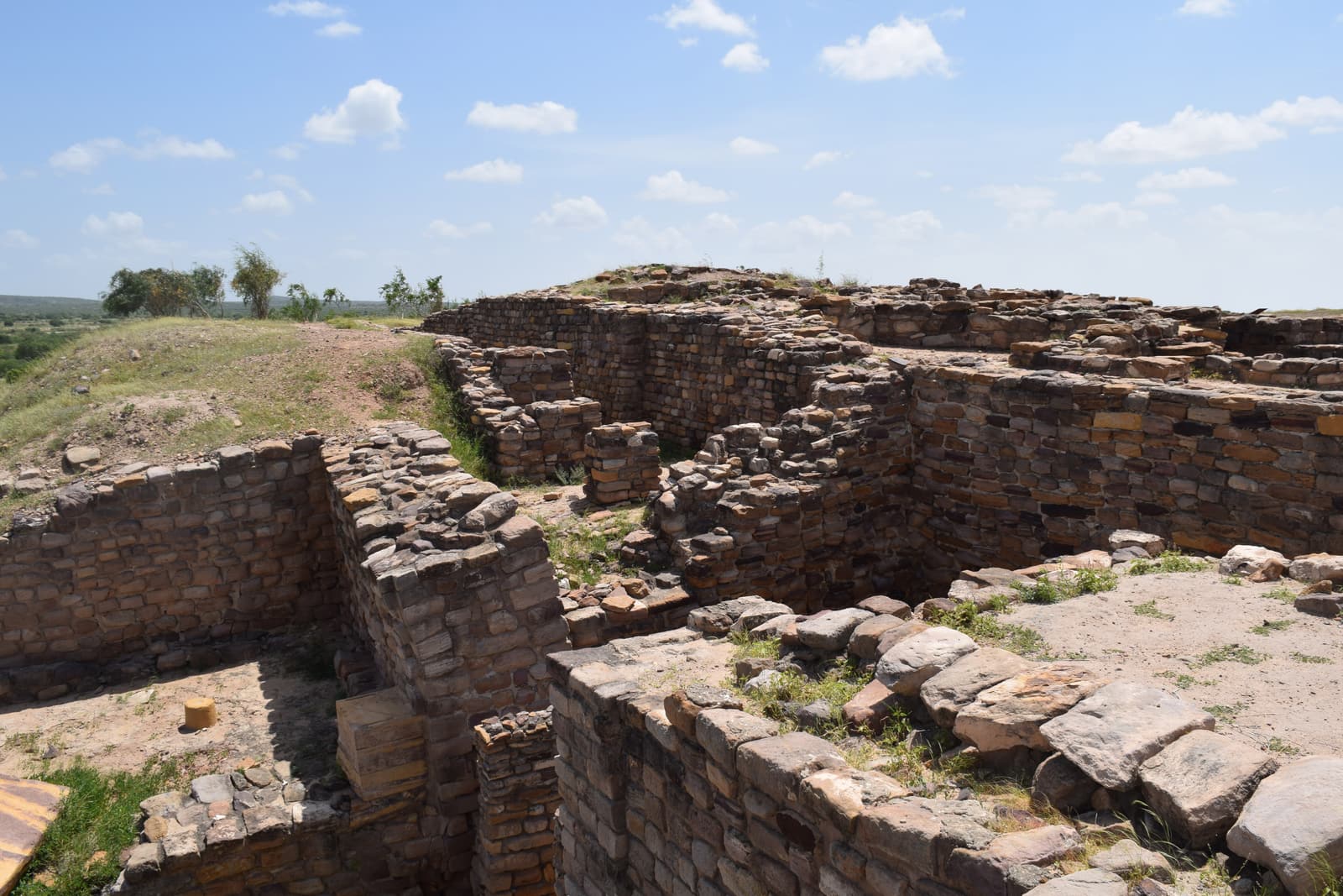
Stone walls of ruined houses at Dholavira under a wide sky

What to See at Dholavira & in Kutch

From a Bronze Age reservoir to a palace of mirrors — thirteen places that make up a Dholavira trip.

Dholavira is not a place you tick off in an hour. The archaeological site alone has five distinct areas worth understanding; the island it stands on has a fossil shore and a sunset rim; and the journey there passes through the rest of Kutch, which would justify the trip on its own.

We have grouped the places in three bands: the Harappan city itself, Khadir Bet and the Rann around it, and Bhuj with the wider district.
The Harappan city

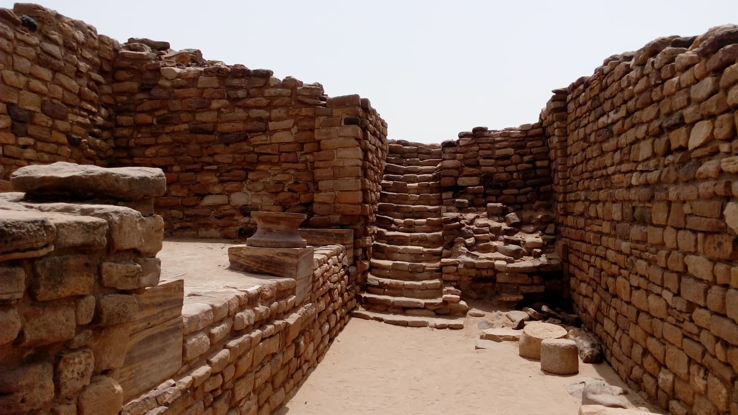
The East Gate of the castle at Dholavira, a stone passage with steps between thick dressed-stone walls The Harappan city

The Citadel

The fortified castle and bailey at the top of the city

The highest and most heavily defended part of Dholavira: a walled “castle” with a lower “bailey” beside it, entered through monumental gates on the north and east. Inside are wells, tanks, stone drains and the polished pillar bases that mark this out as the seat of whoever ran the city.

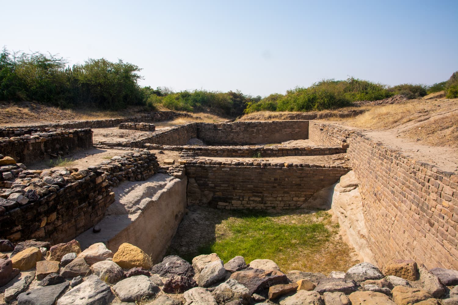
A deep rock-cut reservoir at Dholavira with stone-lined sides and a flight of steps, a little rainwater at the bottom The Harappan city

The Reservoirs

The water system that kept a desert city alive

A chain of great tanks cut into rock and lined with stone around three sides of the city, fed by dams on two seasonal streams and by rainwater channelled off the citadel. The stepped eastern reservoir is the single most impressive thing at Dholavira and one of the oldest large water works anywhere.

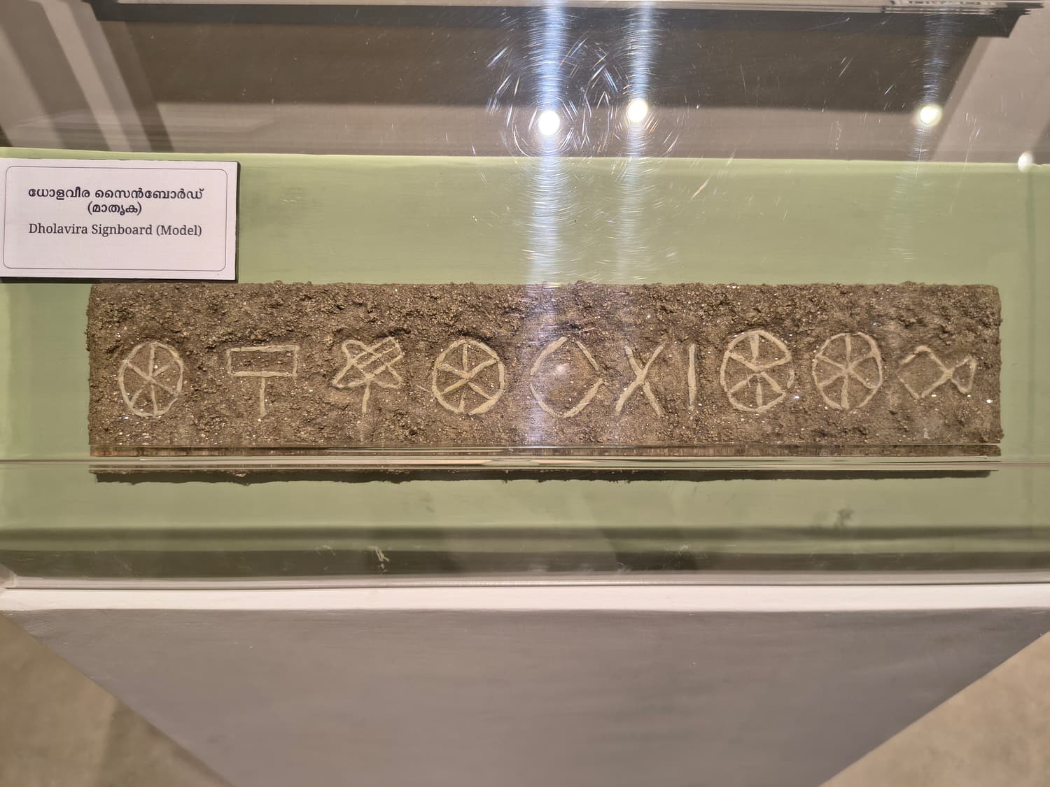
A museum model of the Dholavira signboard showing its ten Indus-script signs in a row The Harappan city

North Gate, Signboard & Stadium

Ten Indus signs and a ceremonial ground the length of three football pitches

The North Gate of the castle is where excavators found ten large Indus-script signs — often called the world’s oldest signboard. It opens onto a long ceremonial ground with stepped stands, the open space between the rulers on the citadel and the townspeople below.

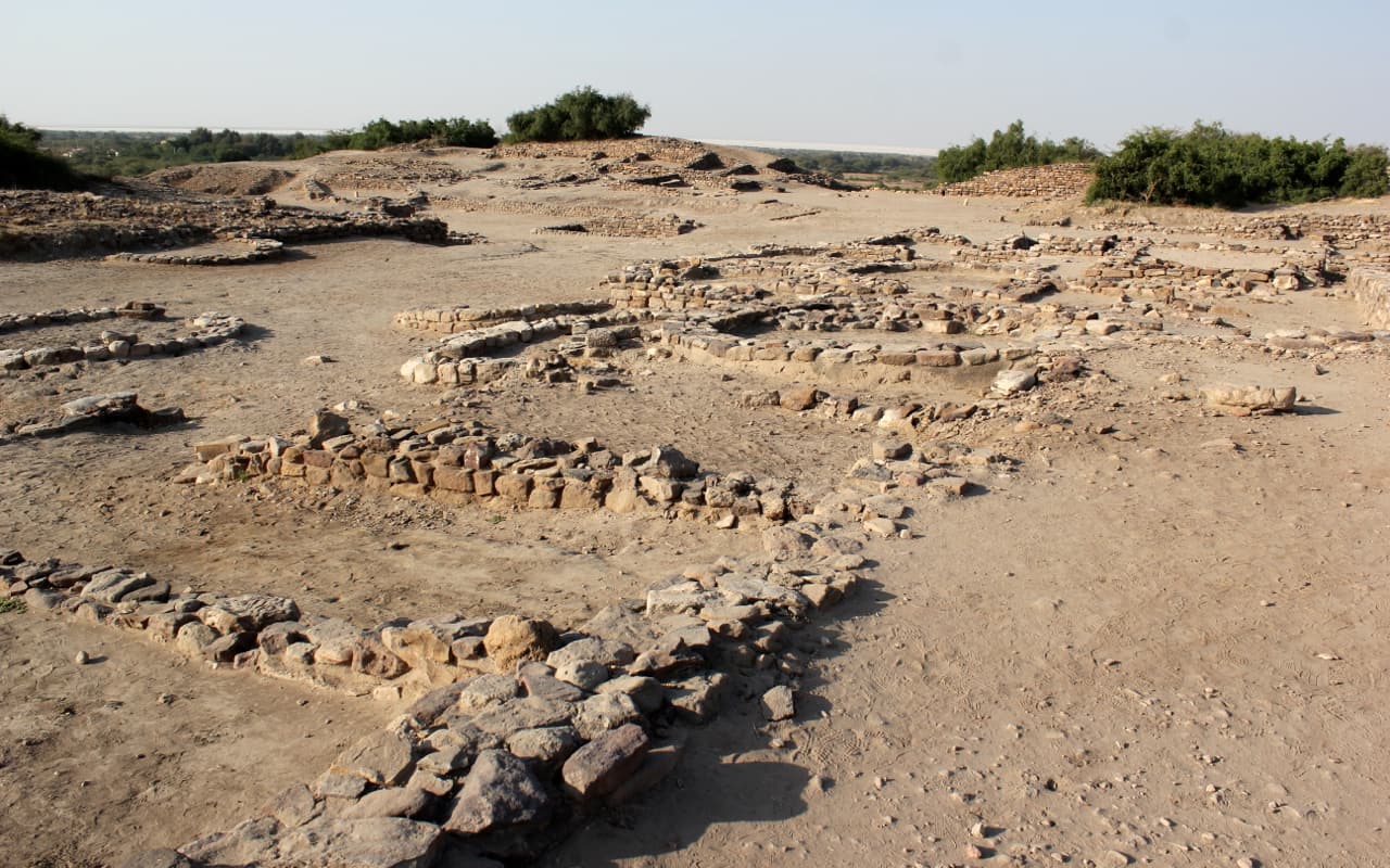
Low stone foundations of houses and lanes spread across the excavated town at Dholavira The Harappan city

Middle & Lower Town

Streets, houses and workshops of the people who lived here

North and east of the ceremonial ground lie the residential quarters: a walled middle town laid out on a grid, and beyond it a lower town of houses and craft workshops. Further west is the cemetery, with its puzzling memorial graves and stone-built mounds.

Harappan storage jars and pottery displayed in the museum at Dholavira The Harappan city

Dholavira Museum

The site museum where the finds make sense of the stones

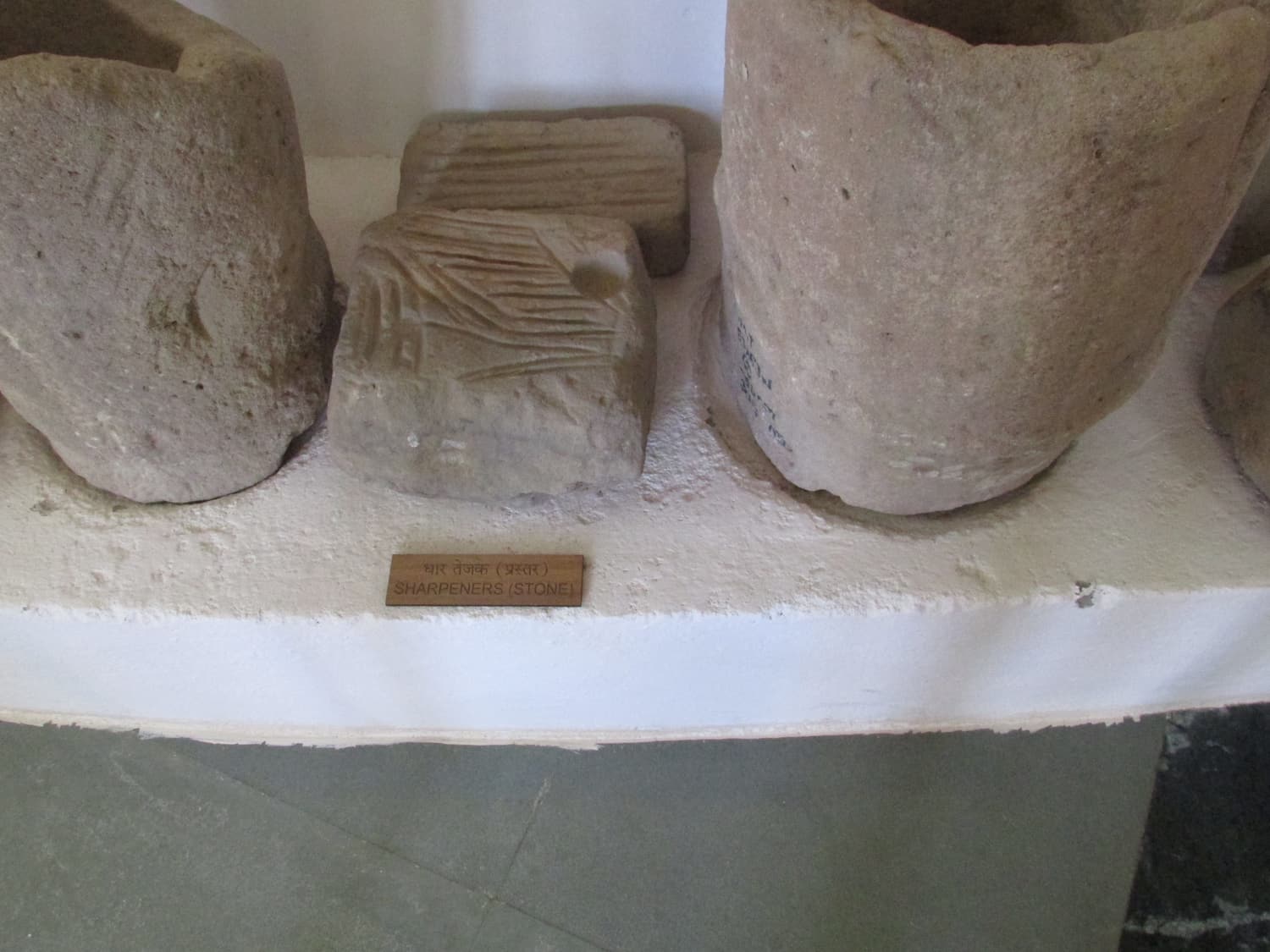
A small Archaeological Survey of India museum beside the entrance, with pottery, seals, beads, weights, tools and a model of the city, plus an explanation of the signboard. Twenty minutes here before walking the ruins makes the whole site far easier to read.

Khadir Bet & the Rann

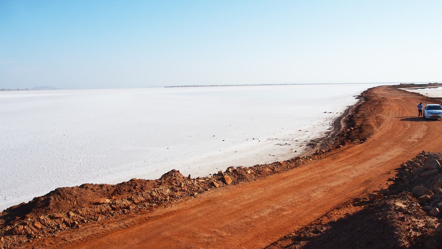
A red-earth road embankment running beside the white salt of the Rann of Kutch Khadir Bet & the Rann

Road to Heaven

A dead-straight highway across the white Rann to Khadir Bet

The stretch of the Ghaduli–Santalpur highway that runs for about 30 km across the open Rann between the Khavda side and Khadir Bet — salt-white in winter, a shallow sea after the monsoon. It has cut the journey from Bhuj to Dholavira roughly in half and become an attraction in its own right.

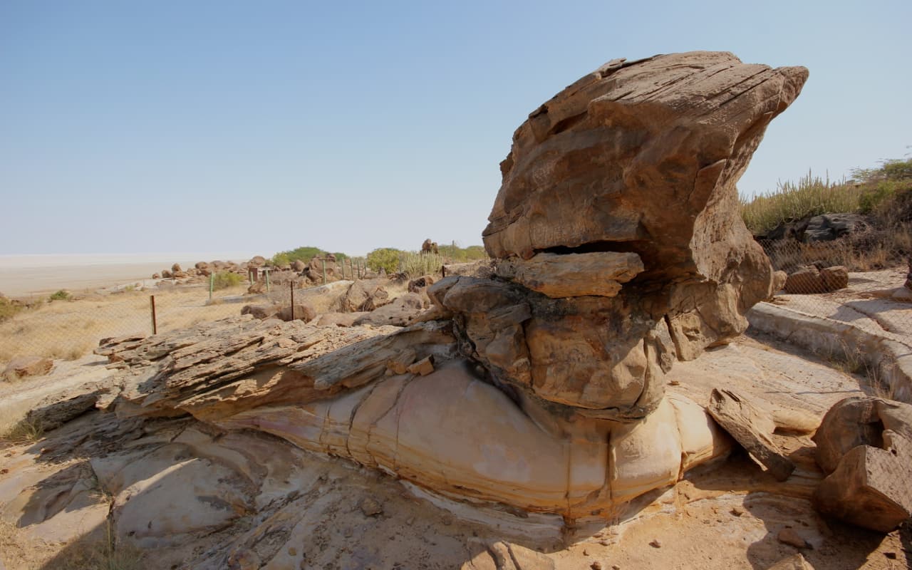
A weathered fossilised tree trunk on the rocky shore of Khadir Bet, with the white Rann behind Khadir Bet & the Rann

Fossil Park

Jurassic tree trunks on the edge of the salt

A small fenced park on the northern shore of Khadir Bet, around ten kilometres from Dholavira village, protecting fossilised tree trunks from the age of the dinosaurs. The fossils are modest; the setting, on a bluff above the empty Rann, is not.

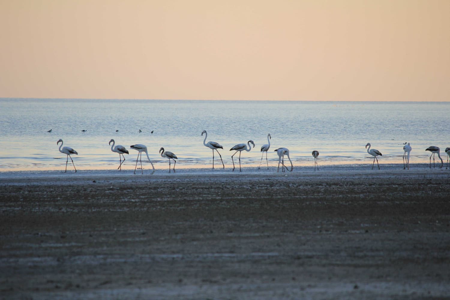
Flamingos feeding in the shallow water of the Rann near Dholavira in the pink light of dusk Khadir Bet & the Rann

Chhipar Point

Khadir Bet’s sunset edge above the Great Rann

A rocky viewpoint on the rim of the island, a short drive from Dholavira, where layered cliffs drop to the Rann and the sun sets over an unbroken horizon of salt or water. After a good monsoon, flamingos feed in the shallows below.

Bhuj & the rest of Kutch

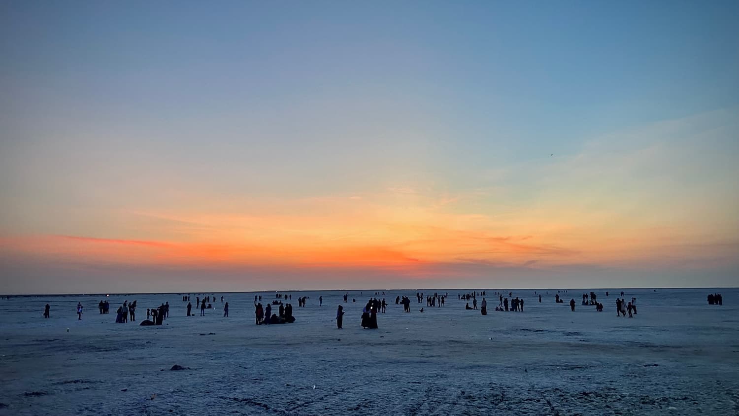
Crowds of visitors spread across the salt flats of the White Rann at dusk under an orange sky Bhuj & the rest of Kutch

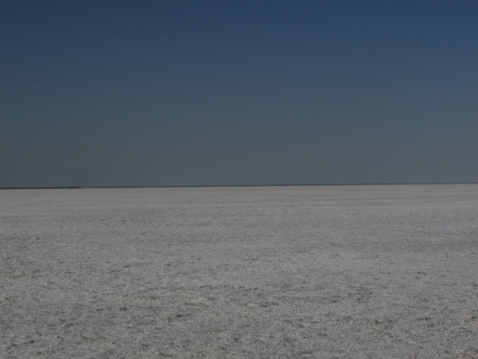
White Rann & Dhordo

The salt desert of the postcards, and the Rann Utsav

About 80 km north of Bhuj the road ends at Dhordo, where a vast salt flat runs to the horizon. This is the “White Desert” of the Great Rann of Kutch and the site of the Rann Utsav, the winter festival with its tent city, craft stalls and folk music. Entry needs a simple permit.

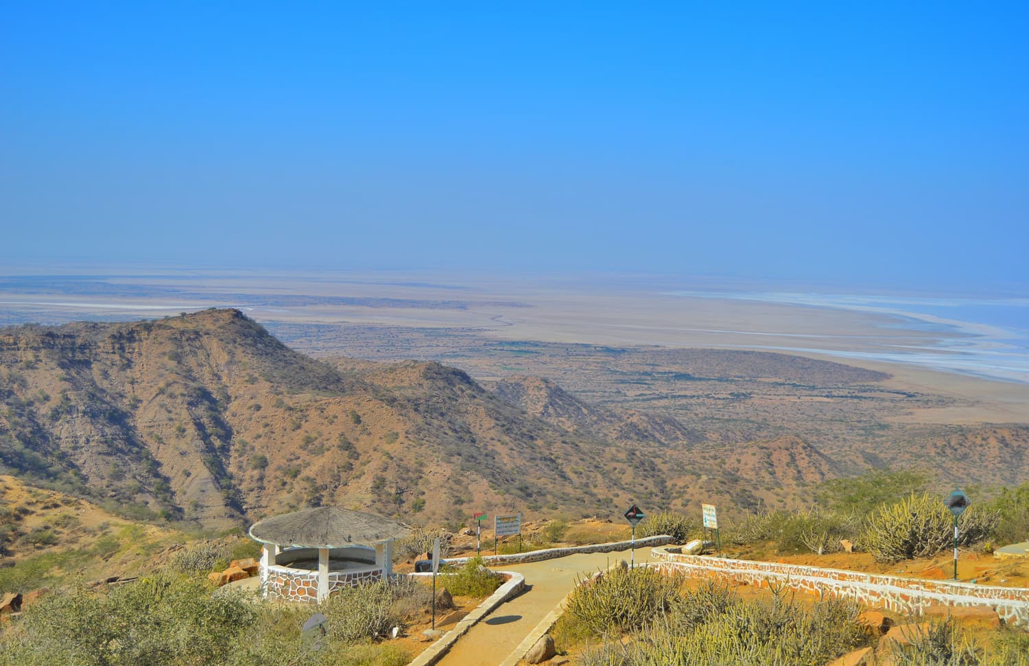
The view from Kalo Dungar over dry ridges to the white expanse of the Great Rann of Kutch Bhuj & the rest of Kutch

Kalo Dungar

The Black Hill — the highest point in Kutch

A 462 m hill north of Khavda with a wide view over the Great Rann, an old Dattatreya temple on top and a famous evening ritual in which the priests put out food for the jackals. It fits naturally between the White Rann and the Road to Heaven.

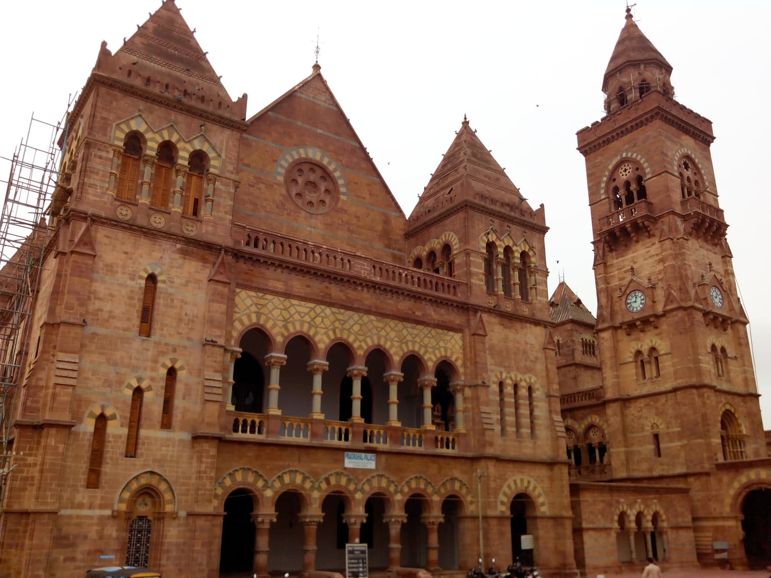
The red sandstone Italian Gothic façade and clock tower of Prag Mahal in Bhuj Bhuj & the rest of Kutch

Bhuj

The old capital of Kutch and the base for everything

A walled-town capital founded in the 16th century, badly hurt by the 2001 earthquake and remarkably rebuilt. Come for Aina Mahal and Prag Mahal, the Kutch Museum, the royal cenotaphs and the Smritivan earthquake memorial on Bhujiyo hill — and for the hotels, trains, flights and cars you need to reach Dholavira.

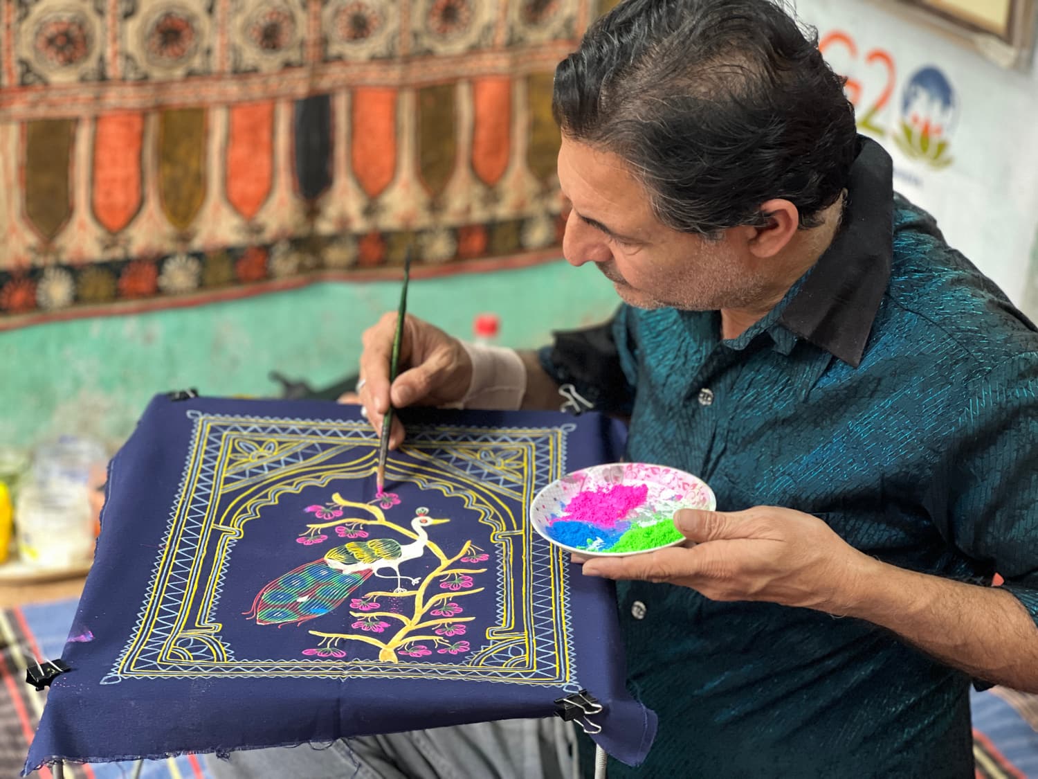
A Rogan artist in Kutch painting a tree-of-life design on dark cloth with a metal stylus Bhuj & the rest of Kutch

Kutch Craft Villages

Weavers, block printers, Rogan painters and embroiderers

Kutch is one of India’s great craft regions, and the work is still done in villages you can visit: Bhujodi for weaving, Ajrakhpur for block printing, Nirona for Rogan painting and copper bells, the Banni hamlets of Hodka and Ludiya for embroidery and painted bhungas, Khavda for pottery.

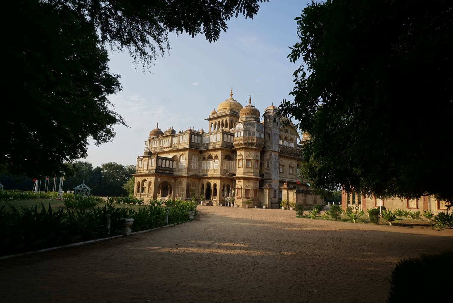
The domed sandstone Vijay Vilas Palace at Mandvi at the end of its tree-lined drive Bhuj & the rest of Kutch

Mandvi

A port town of wooden ships, a palace and a long beach

An hour south-west of Bhuj on the Arabian Sea, Mandvi is where Kutch built the dhows that traded with Africa and Arabia — and still builds them, by hand, on the Rukmavati estuary. Add the 1920s Vijay Vilas Palace and a wide beach and you have the easy day that balances all that desert.

How the places fit together

  • The short trip (2 days): Bhuj → Kalo Dungar → Road to Heaven → Dholavira for sunset and a night; the ruins and museum next morning; back to Bhuj.
  • The classic (4 days): a day in Bhuj; the craft villages and the White Rann at Dhordo; Kalo Dungar and the Road to Heaven to Dholavira; the site at dawn, then back to Bhuj or out east via Rapar.
  • The full circuit (6–7 days): add Mandvi, and travel between Ahmedabad and Kutch by road with the Little Rann, Modhera and Rani ki Vav on the way.

See the Dholavira guide for full itineraries and tours for trips that cover them.

Plan your Kutch trip

A Harappan city at dawn, the white Rann at sunset, Bhuj and its craft villages in the same week

Pair Dholavira with the salt desert at Dhordo, the view from Kalo Dungar and the palaces of Bhuj. Compare guided tours and book in a couple of taps.